Today was our first day of chasing and it certainly didn’t disappoint.
It was an early start in order to stock up for the week ahead with essential jerky and Oreo supplies!
Our target area was north western Kansas so we set out to Goodland KS to set up for the day and see which storms looked like a promising chase.
There was no shortage of potential storm systems but unfortunately they were forming next to each other that makes them unlikely to form the supercells we’re out here to see. Fortunately just south of the main line of storms we had a little blip on our radar feeds that looked promising- an isolated storm!
We held position in Goodland until around 1pm, before heading south to get a closer look at our isolated storm system. While waited we had a great view of the developing line of storms.
The photos below show the development of the storm system, there was only 15 minutes between these 2 photos.
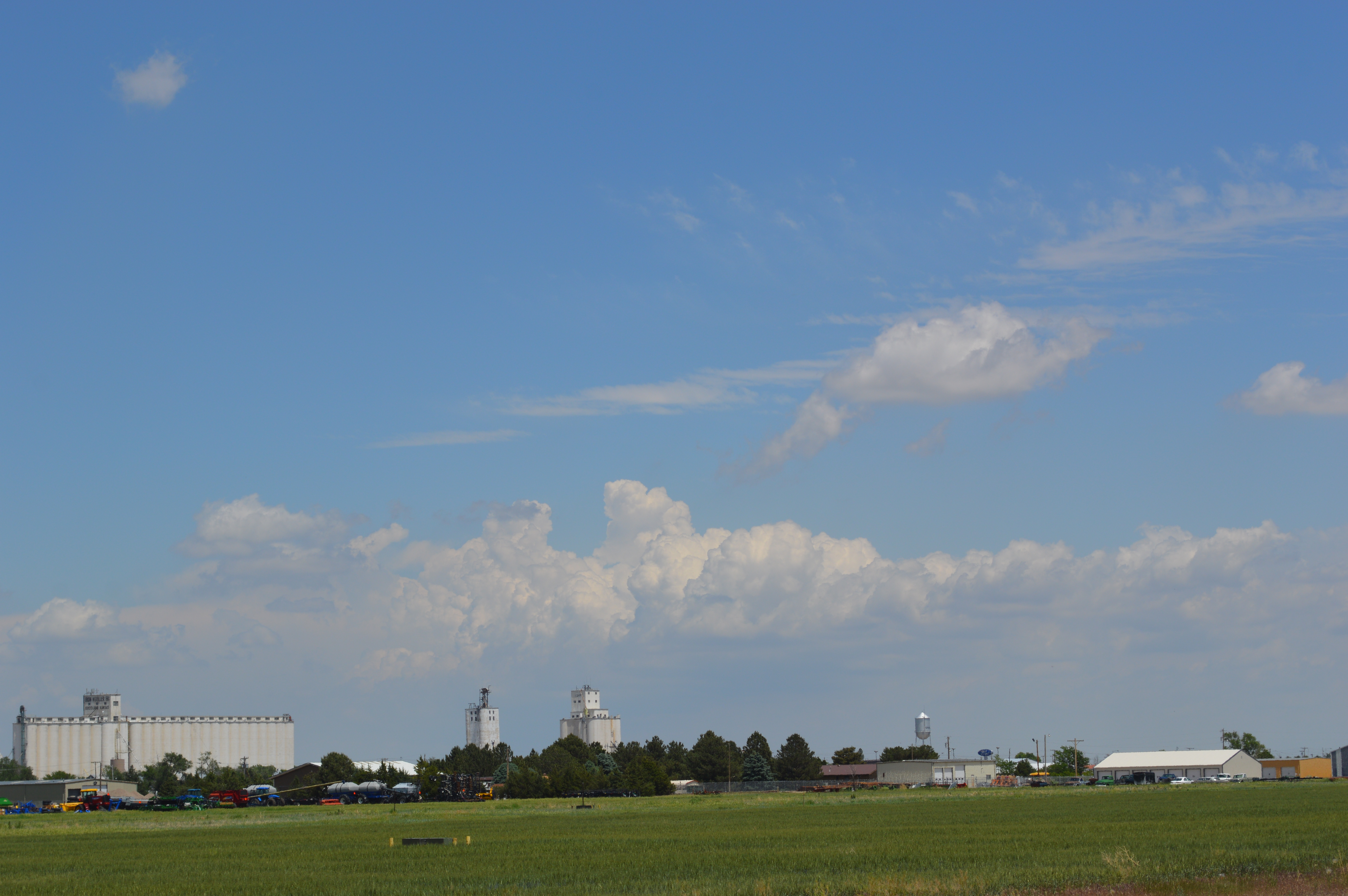
Our view from Goodland at 12:05
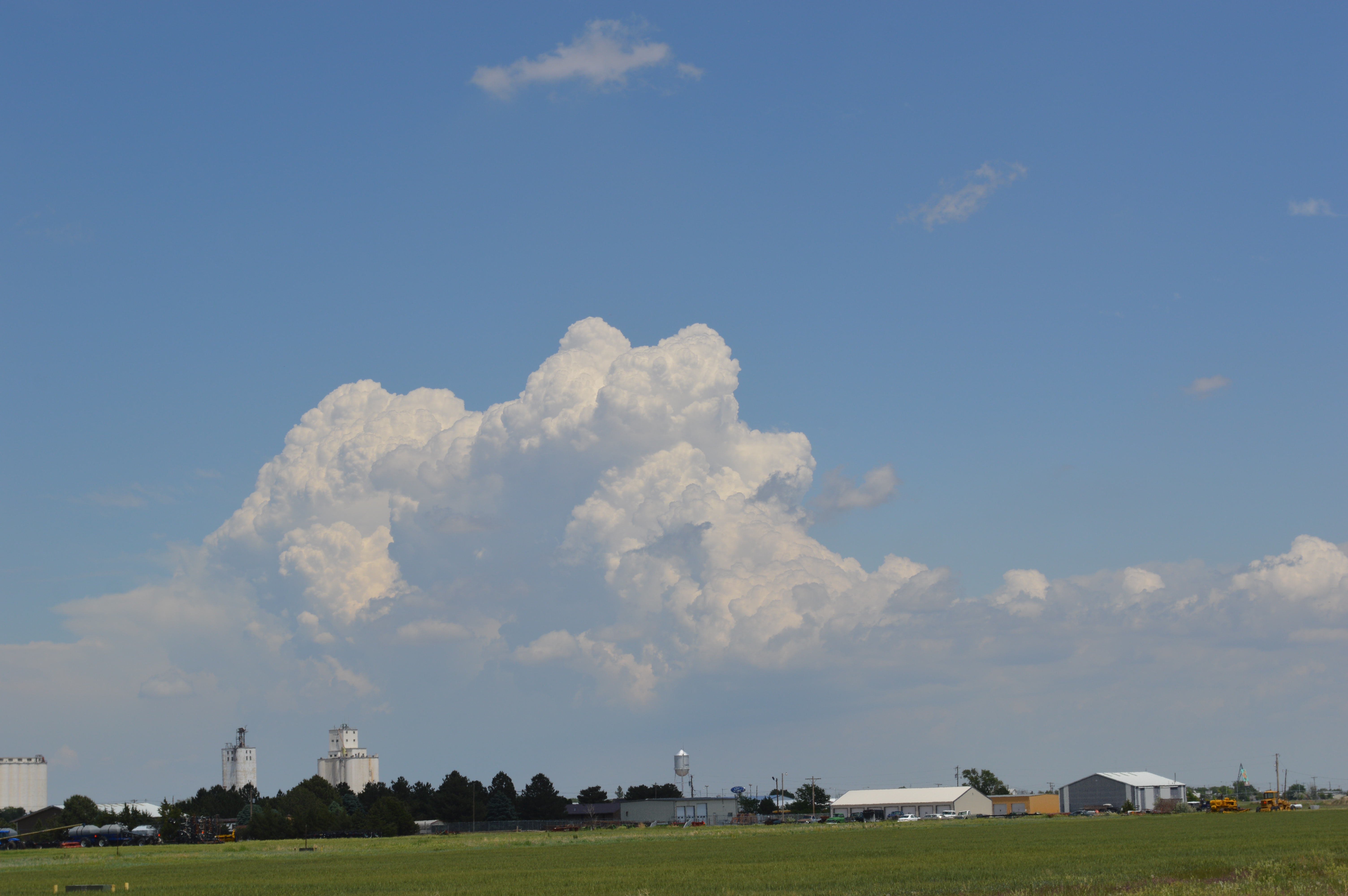
The view from Goodland at 12:19
The wait in Goodland proved to be a good call, as it meant we were able to chase the right storm and managed to get in position to witness a storm with the classic supercell structure, complete with anvil cloud, rain foot and a wall cloud- the feature most likely to spawn a tornado.
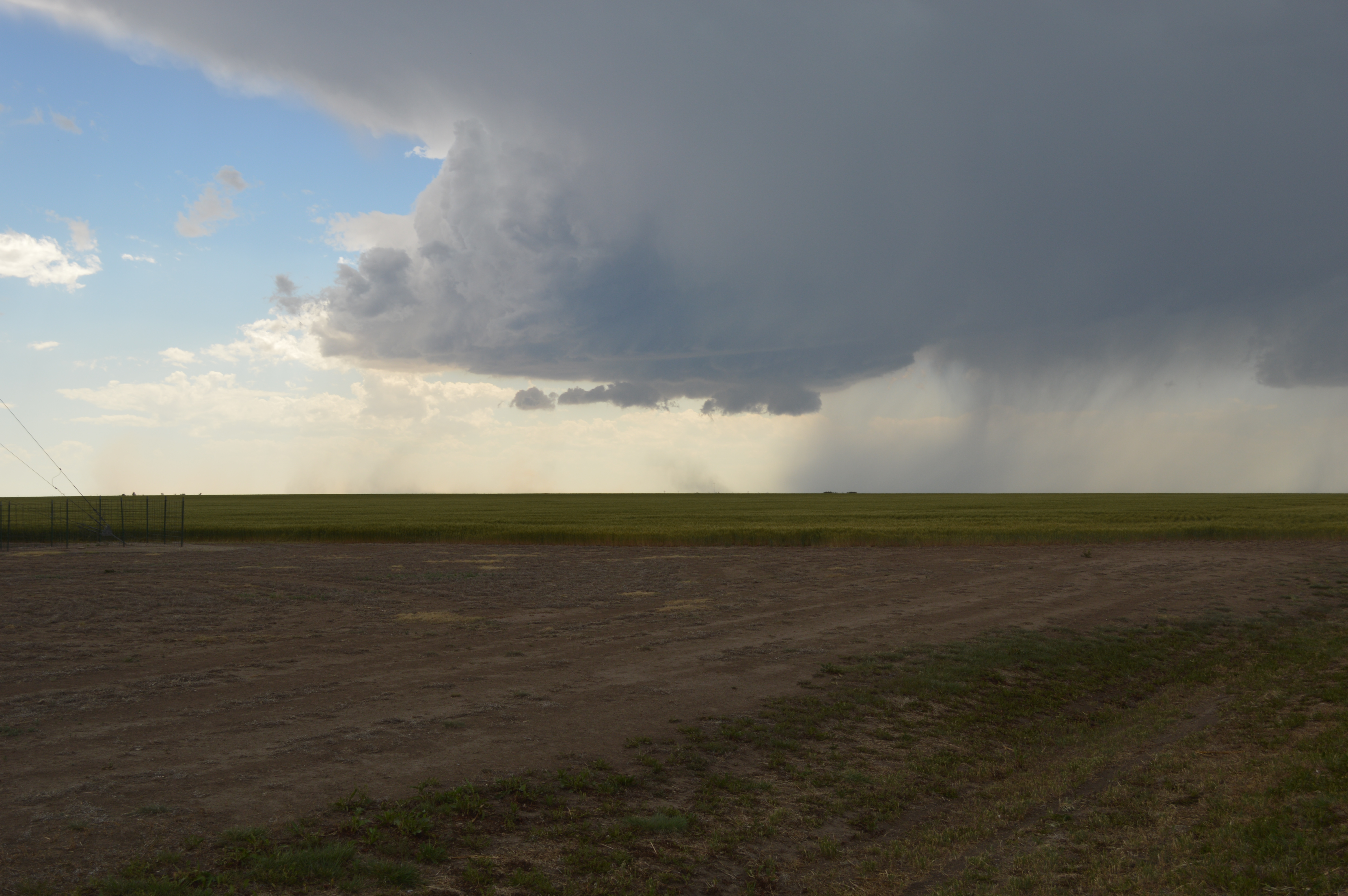
The view of our chosen storm from outside of Sharon Springs KS
As we watched the storm became more organised and made slow progress towards giving a great view of some pretty spectacular Mammatus clouds.
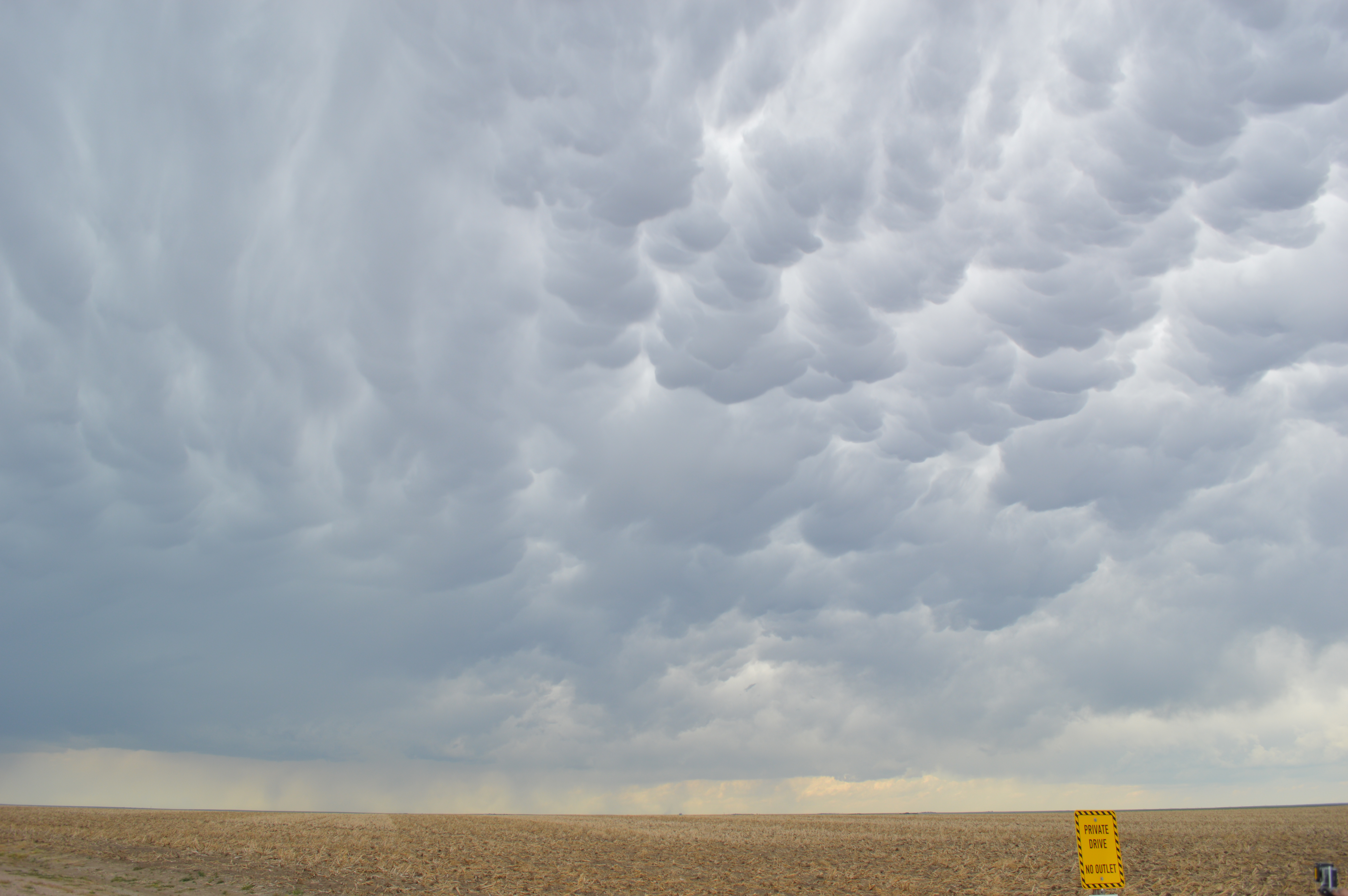
Some pretty impressive Mammatus from just outside Sharon Springs
Relocating to just outside of the town of Tribune south of the storm we got a stunning view of the main wall cloud feature of the storm.
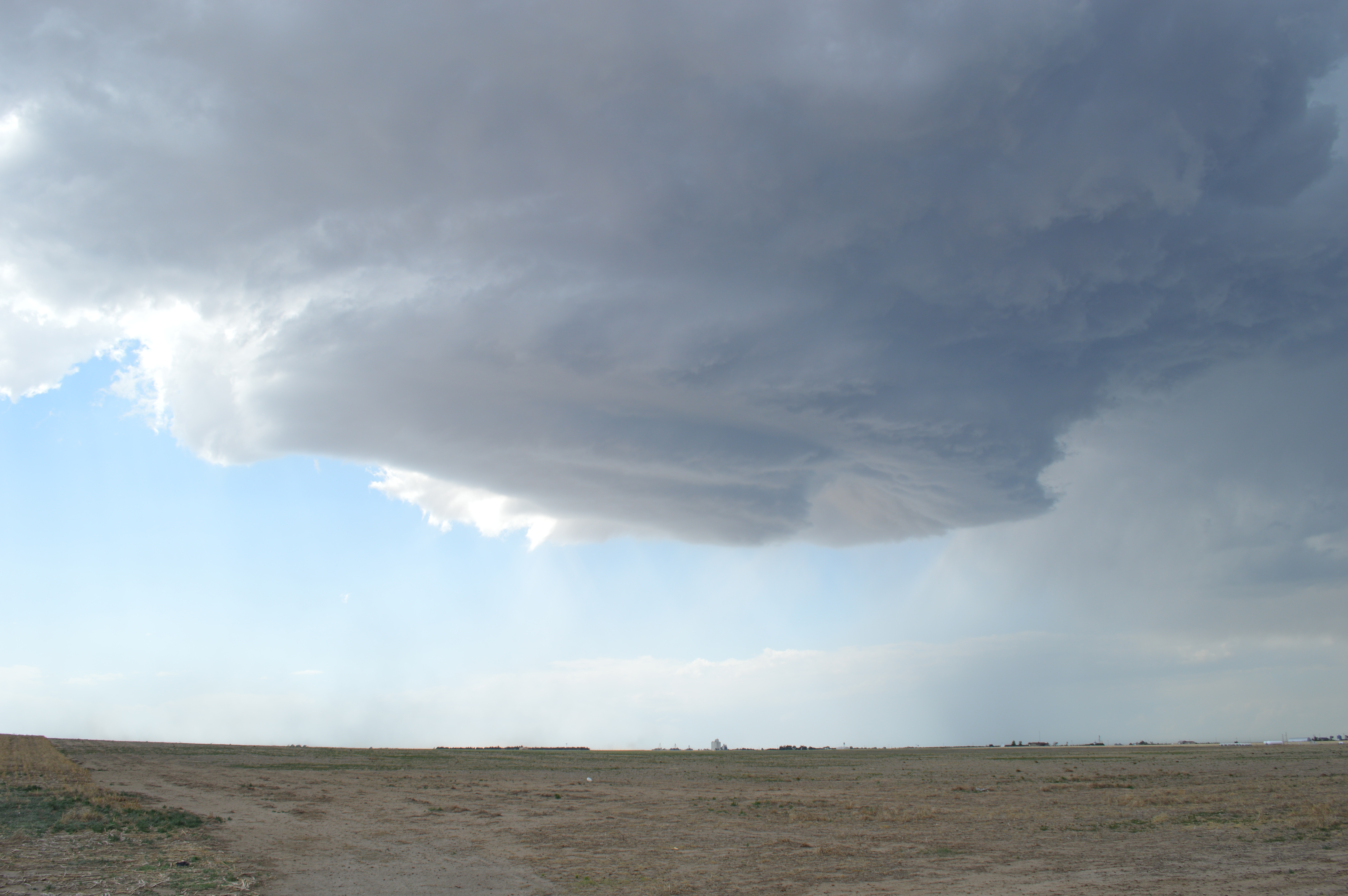
The wall Cloud viewed from just outside Tribune
As the wall cloud moved towards us we were treated to a bit of light sand blasting when we got caught in the 60 mph winds of the rear flank down draft (RFD) Safe to say a bit of adrenaline got pumping!
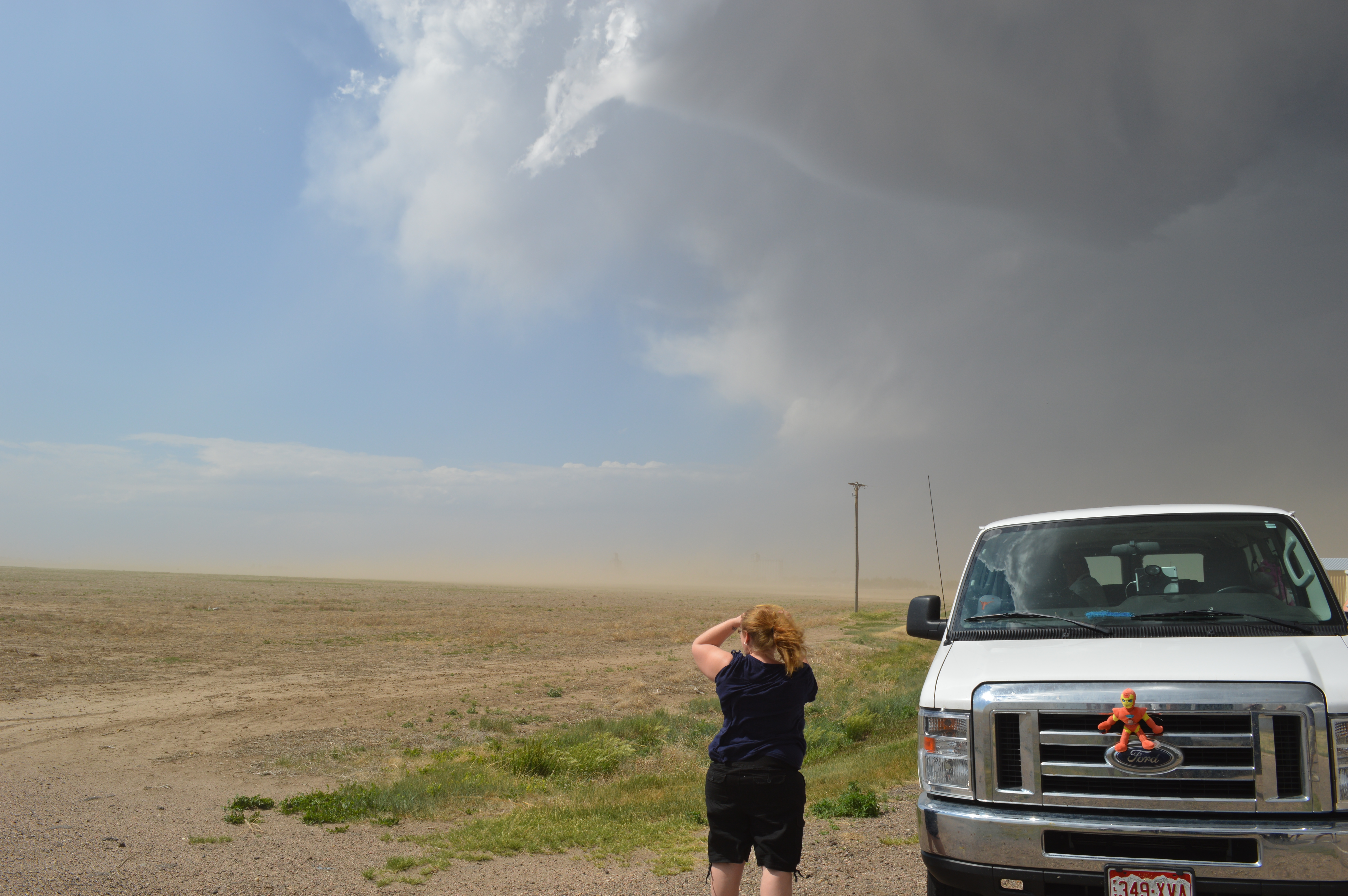
The RFD approaches- notice the dust in the distance- about a minute later we were in the middle of that!
Unfortunately after getting out of the way of the RFD, the storm had joined a line of storms that are difficult to chase so we decided to relocate for the day to get set up for tomorrows storms on the high plains.
SCIENCE WITH SEAN- How do supercells spawn a tornado?
Welcome back science fans, since I saw a classic supercell structure today I tought I’d share a brief explanation of why supercells are so interesting and how they lead to the formation of Tornados perfectly summarised in the diagram below.

Anatomy of a Tornadic supercell
One of the key elements that allows a supercell to form is wind sheer (lower level winds in the diagram above) that causes horizontal rotation in the storm, when this rotating air meets a strong updraft the rotating lower level winds are bent upwards with the in flow of warm rising air. Once the vertical rotation begins a wall cloud will form which is a section of the cloud base that lowers away from the rest of the storm. Its in a wall cloud that we will typically see the formation of Tornados.